
Built in Kenya. Proven in Somalia.
Afrikan Spatial Grid Ltd delivers GIS, drone/LiDAR, and satellite-based mapping across Africa. We combine survey-grade precision with community-centred planning, so that governments, developers, and infrastructure programmes can turn raw terrain into data they are willing to build on.
Our mission
To map, empower, sustain, and transform African communities and infrastructure through accurate, accessible, and actionable geospatial intelligence.
Our vision
A future where every parcel, settlement, and corridor of infrastructure across Africa is backed by trustworthy spatial data, enabling secure land tenure, resilient cities, and inclusive growth.
The team behind the terrain.

Kiinge Nancy Muthoni
Founder & Lead Geospatial Consultant
Nancy is a Registered Land Surveyor and Licensed Drone Pilot with extensive experience in drone mapping, GIS, and remote sensing. Her work focuses on informal settlements, rural development, and infrastructure projects.
She leads our aerial initiatives, bridging traditional cadastral surveying with advanced UAV workflows to deliver the evidence-driven ground truth that complex development requires. Her operational footprint stretches from Turkana to Mombasa in Kenya and into Mogadishu, Somalia, and she is at her most effective delivering reliable spatial data in remote and underserved environments.
As a strategic advisor to NGOs, government agencies, and private developers, she turns raw data into decisions that reduce risk, with every engagement built on spatial clarity and inclusive stakeholder engagement.
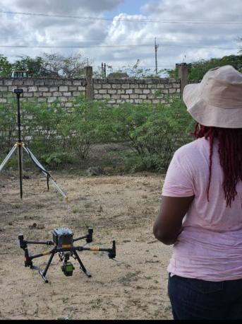
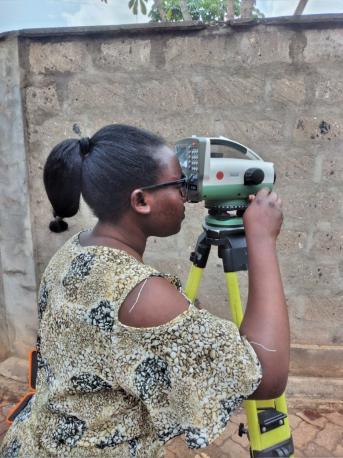
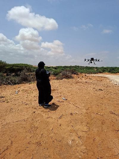
As featured in AfroSpatial Magazine.
“Women Leading the Way in Drone Mapping and Geospatial Innovation”, June–July 2026 issue.
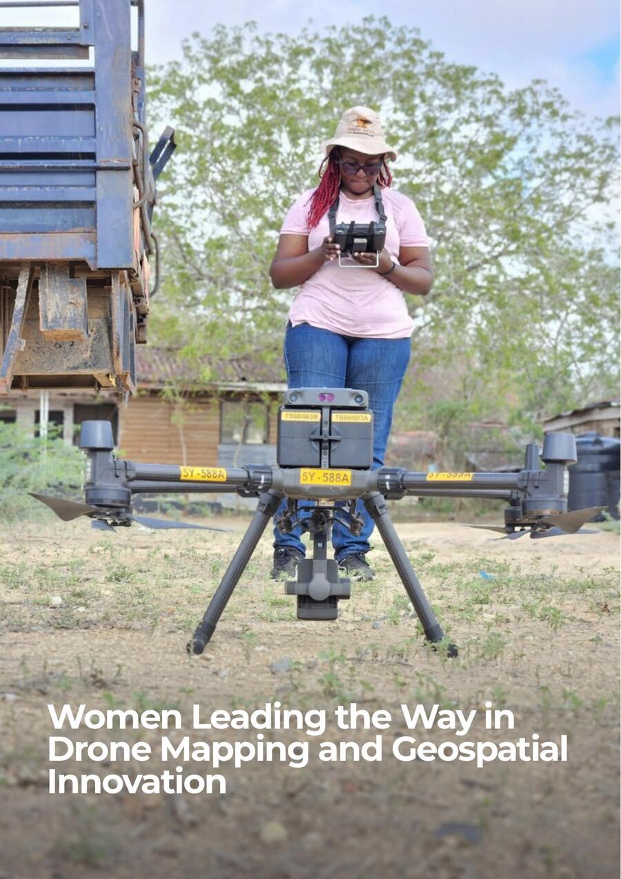
Our founder sat down with AfroSpatial Magazine to talk about her path from a university drone demonstration to leading aerial mapping operations across Kenya and Somalia, and about what land tenure work in Turkana and Laikipia taught her about the human side of geospatial data.
Asked about the field moment that has stayed with her longest, she recalled an elderly man in Kanyoni, Laikipia, standing beside a newly installed boundary beacon.
“For the first time in his life, he felt at peace.”
The feature also covers her early career at Nile Surveys and Geo-Solutions and at Geo-Cart Surveys and Engineering, her advice to young women entering the field, and how she built her practice into what is now Afrikan Spatial Grid Ltd.
Recognised registration, licensed operations.
Our field operations and deliverables are backed by recognised professional registration and civil-aviation licensing.

ISK Registered
Member of the Institution of Surveyors of Kenya, the professional body for land surveying practice in Kenya.

KCAA Licensed
Licensed drone pilot certified for multirotor operations at visual line of sight, with over 400 flight hours logged.
LSB Registered
Recognised Approved Assistant by the Land Surveyors Board to Licensed Land Surveyor Washington Abuto.
Our scope also covers cadastral, topographical, and sectional-title (apartment title) survey work, including land subdivision and title registration within the coastal region and across Kenya.
A track record built one settlement at a time.
-
2024
Coastal & Turkana groundwork
Sahnzu Beach 3D mapping, Vipingo Ridge Dam survey, and Turkana Cluster 3 land tenure work under KISIP.
-
2025
National road & land-tenure scale-up
KeNHA-tendered A2, A4 and A8 highway corridors, plus KISIP2 delivery across 306 settlements in Nairobi and Machakos.
-
2026
Cross-border expansion
First international assignments in Mogadishu, Somalia: the Barakaat Smart City survey and BECO infrastructure mapping.
-
Next
Pan-African footprint
Actively structuring to mobilise new-country operations and multi-country programmes across the continent.
Core technical skills & equipment.
- Drone survey & mapping — DJI Phantom 4, Matrice 300, Matrice 350, Mavic
- LiDAR & photogrammetry processing — DJI Terra, Pix4D
- GIS software — QGIS, ArcGIS, Civil 3D, AutoCAD
- RTK/PPK GNSS survey, Total Station, static and traverse survey
- CORS-enabled positioning
- Cadastral survey, beaconing, subdivisions, and land tenure documentation
Want to work with us?
We are actively seeking new tenders and partnerships with government agencies, NGOs, and private developers across Africa.