A full geospatial value chain.
From first flight to final decision, every capability is built on standards-compliant survey practice: licensed, documented, and ready for public procurement or private due diligence.
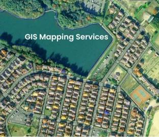
GIS & Mapping
Spatial data capture, geodatabase development, and thematic mapping for land, infrastructure, and environmental planning. Every other deliverable is built on this.
- Geodatabase design & spatial data capture
- Thematic mapping — land, environment, infrastructure
- QGIS & ArcGIS workflows, CAD-ready outputs
- Settlement boundary & social-amenity mapping
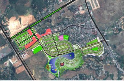
Urban Planning
Physical planning support for informal settlements, town plans, and cadastral survey implementation. Field data becomes plans that hold up under public review.
- Physical planning for informal settlements
- Town plan preparation & implementation
- Cadastral survey execution
- Sectional (apartment) title & subdivision support
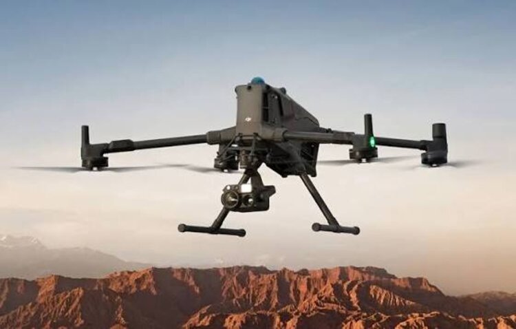
Drone & LiDAR
High-precision UAV photogrammetry and LiDAR capture producing orthomosaics, DEMs/DSMs, and 3D terrain models. KCAA-licensed, with over 400 flight hours logged.
- DJI Phantom 4, Matrice 300 & 350, Mavic fleets
- LiDAR point-cloud classification (ground/vegetation/structure)
- Orthomosaics, DSM/DTM & contour generation
- Processing in DJI Terra & Pix4D
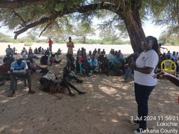
Community Impact
Participatory planning and engagement that secures land tenure and centres local voices. A survey that skips the community is a survey that gets disputed.
- Pre-survey community engagement sessions
- Participatory settlement mapping
- Land tenure security for informal communities
- Delivered across 300+ settlements to date
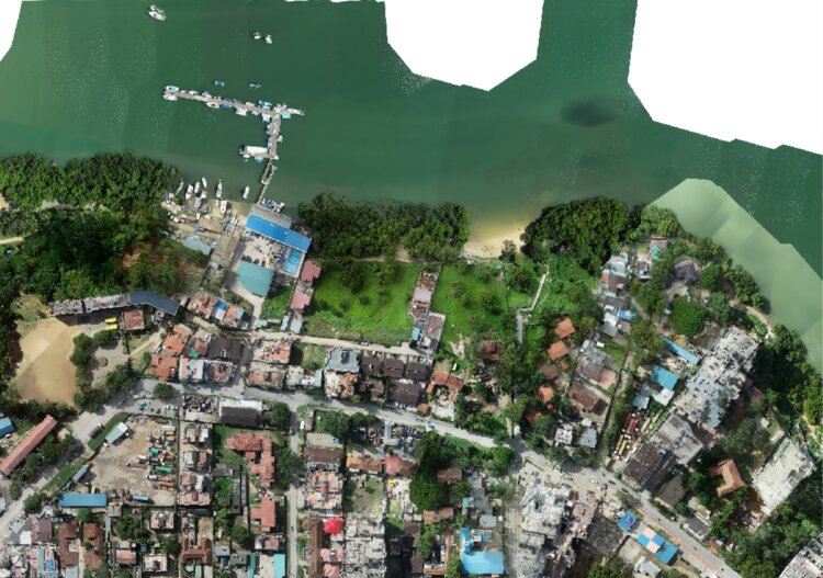
Sustainable Futures
Hydrological, drainage, and volumetric analysis for resilient infrastructure — the modelling that tells engineers where water goes before it becomes a problem.
- Hydrological & drainage-network studies
- Volumetric & sand-dune analysis
- Contour mapping at engineering-grade intervals
- Dam catchment & spillway topography
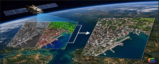
Satellite Data
Remote sensing and satellite-based analysis for large-area monitoring, land-use change detection, and resource mapping. Coverage where drones alone cannot reach.
- Large-area remote sensing & monitoring
- Land-use change detection over time
- Resource mapping at regional scale
- Complements drone/LiDAR ground-truthing
Not sure which service fits your project?
Tell us what you are building and we will recommend the right mix of capability, from a single flight to a multi-county programme.